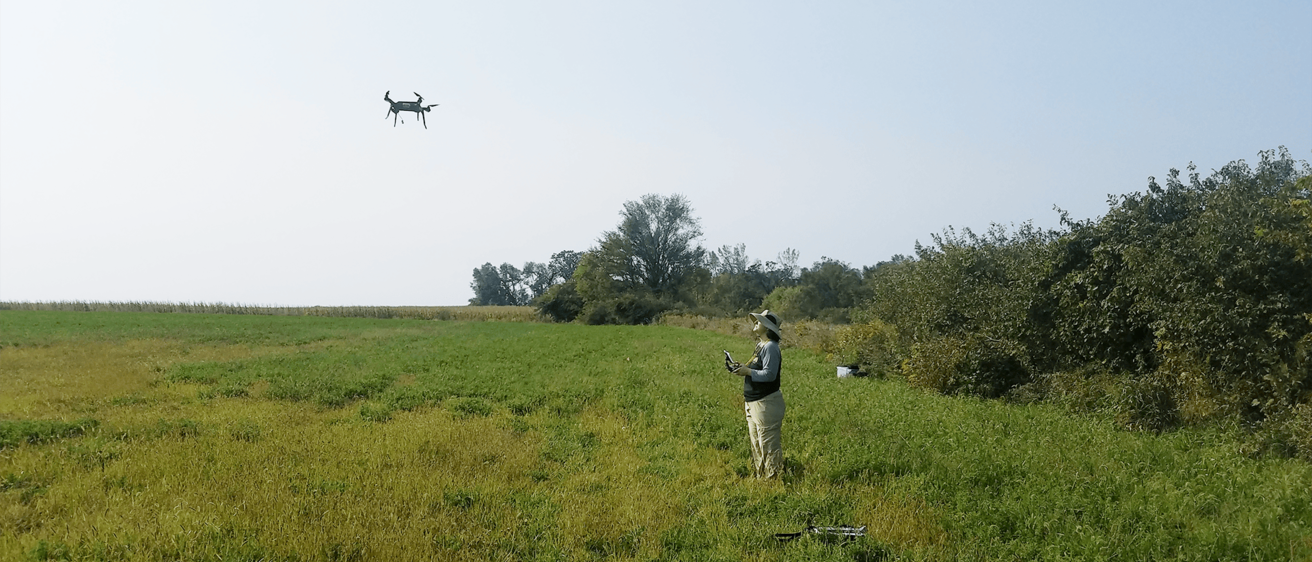

Since 2016, OSA has utilized remotely piloted aerial systems (RPAS) or small unmanned aerial systems (sUAS), aka drones, for site identification, preservation monitoring, multi-spectral analysis to survey large areas for cultural resources, and low altitude remote sensing. OSA's FAA-licensed pilots offer drone flight services to collect data for any profession or scientific field. In addition to photos and video, OSA drones can capture data using thermal imaging and aerial lidar. Post-processing services include photogrammetry, 3D modeling, and data processing and analysis.

OSA conducts 3D scanning, printing, and photogrammetry of objects and artifacts for research and educational purposes. Staff members have the artistic ability to transform 3D-printed objects into replica artifacts for teaching, exhibits, and displays.

Education and interpretation staff frequently collaborate with the technology staff to create audience-focused website content and digital interpretive media. A portfolio of web-based projects is available upon request.
Digital Services Staff
Mary De La Garza, M.A., MCSE
| OSA Staff member | Digital Services Specialty |
|---|---|
| Mary De La Garza (Director) | Drone flight services (FAA-licensed); aerial data post-processing including photogrammetry, thermal imaging, 3D modeling, lidar, and multi-spectral analyses; geospatial analysis |
| Angela Collins | Drone flight services (FAA-licensed); website design and maintenance; graphic design; digital interpretive media design |
| Ryan Lange | Drone flight services (FAA-licensed); aerial data post-processing including photogrammetry, thermal imaging, 3D modeling, lidar, and multi-spectral analyses; geospatial analysis |
| Colleen Randolph | Iowa Site File (I-Sites) data management |
| Elizabeth Reetz | Digital interpretive media strategy, development, and design; website design and maintenance; digital and virtual outreach |
| Maizy Fugate | Digital archives services including digitization and file transfers of electronic documents; iArc data management |
Fees for Digital Services
Please use the information below to estimate costs for grant planning or contract budget proposals. Email us directly for a calculation of actual costs.
| service | fee |
|---|---|
| drone flight services (FAA licensed pilots) | Rates include fringe and F&A when required by the Division of Sponsored Programs for grants and contracts. Per pilot: $55/hour (no F&A) - $85 (fully burdened F&A) plus travel and applicable equipment rental |
Post-processing expertise:
| Rates include fringe and F&A when required by the Division of Sponsored Programs for grants and contracts. $55/hour (no F&A) - $85 (fully burdened F&A), based on agreed scope of work |
| Documents digitization | See Curation Services |
| Digital interpretive media strategy, development, and design: See Outreach Consulting | Initial 30-minute consultation provided at no charge. Rates include fringe and F&A when required by the Division of Sponsored Programs for grants and contracts. $49/hour (no F&A) - $76 (fully burdened F&A) |