Research
OSA Digital Library Collections
The University of Iowa Digital Library hosts over 100 OSA publications, with more added regularly. Find outreach material, conference posters, and all educational information from our retired website.
IAS Newsletters
Iowa Archeological Society newsletters from 1951 through two years ago are hosted on the UI Digital Library. The most recent two years are available to IAS members.
Digital Booklets & Interactive Media
View digital versions of several popular archaeology booklets. Topics include the Lower Des Moines River, the Loess Hills, the annual Archaeology on the Road RAGBRAI booklets, and more!
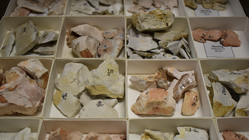
OSA Lithic Raw Material Assemblage
Accessed through the Wayback Machine Internet Archive, this is an electronic version of OSA's in-house lithic raw material assemblage, which is is the primary resource for lithic identification and analysis of chipped stone tools and debitage
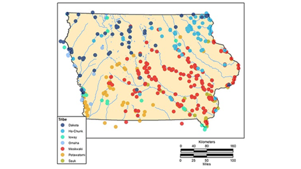
Historic Indian Location Database
This website provides an overview of OSA's Historic Indian Location Database (HILD) project. See maps of historic-era Native American locations in Iowa, organized into five different time periods.
OSA's Archived Website
Looking for something on the old version of our website? You can find the educational material in the UI Digital Library, but if you can't find what you're looking for, try the Wayback Machine!
Bioarchaeology and History of Dubuque's Third Street Cemetery,
OSA Research Papers Volume 37 Number 1 (2013)
Explore
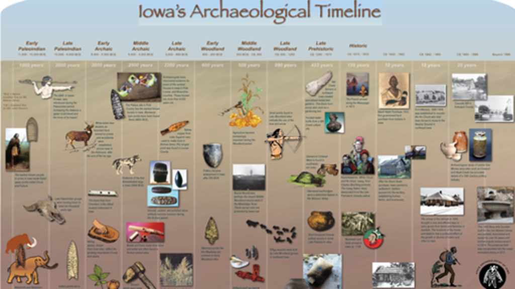
Iowa's Archaeological Timeline
Explore Iowa's archaeological timeline on Prezi. Use your mouse to pan and zoom in/out or use the navigation arrows at the bottom to move chronologically.
A Citizen’s Guide to Recording Archaeological Finds in Iowa
An ArcGIS StoryMap with resources to assist non-archaeologists with basic artifact identification, site documentation, artifact collection, and collections care.
Community Engaged Archaeology in Elgin, Iowa
Learn about the Importance of the Turkey River to Indigenous Communities Past and Present through this ArcGIS StoryMap.
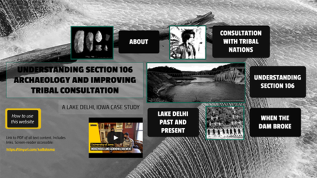
Understanding Section 106 Archaeology & Improving Tribal Consultation
Developed as a creative mitigation, this Prezi provides information and resources for agencies, applicants, and the public interested in learning about the Section 106 process and tribal consultation.
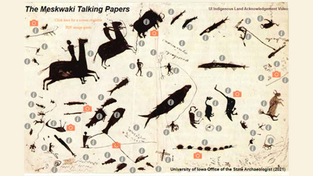
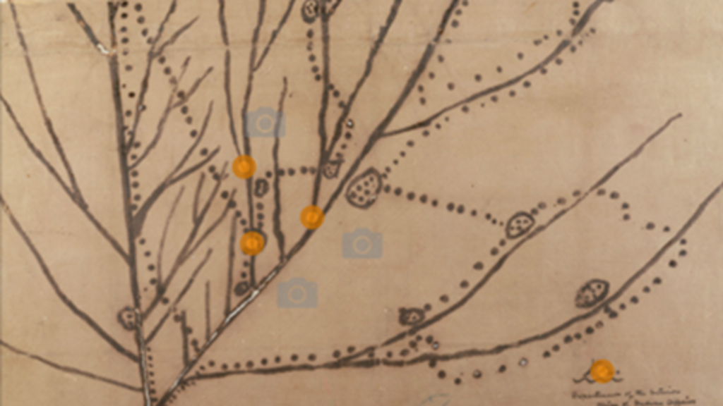
The Meskwaki Talking Papers
Around 1830, Wacochaci, a important Meskwaki chief, created amazing pictographs on pen and paper that depict 100+ species of animals, birds and fish. View these pictographs and see archaeological artifacts that were created from or relate to species drawn by Wacochachi.
The 1837 Ioway Map
This map illustrates villages and travel routes of the Ioway people. Learn about why it was created and see archaeological objects from sites located on the map.
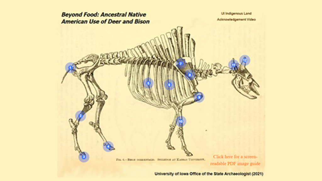
Beyond Food: Ancestral Native American Use of Deer and Bison
Explore a selection of objects from the OSA's collections that show innovative tools and uses for different deer and bison skeletal elements.
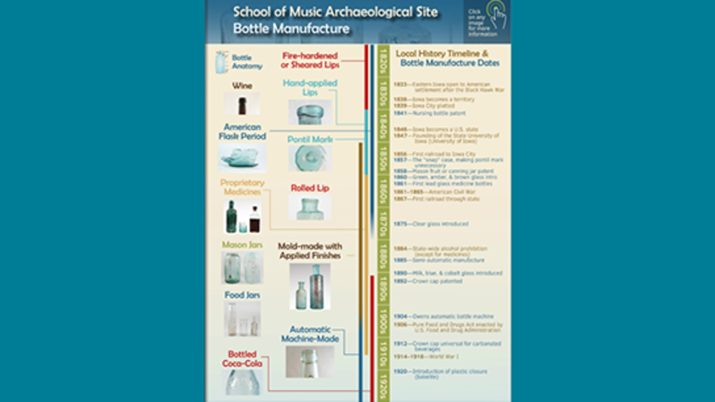
Bottle Manufacture Timeline
Glass bottles found at the University of Iowa School of Music archaeological site in Iowa City represent almost a century of bottle manufacturing techniques. Check out this interactive display of images and information!
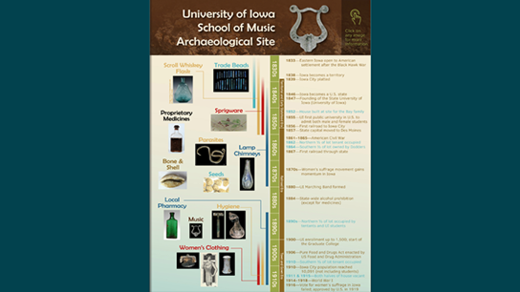
School of Music Timeline
This interactive document presents archaeological discoveries found prior to the construction of the University of Iowa Voxman School of Music.
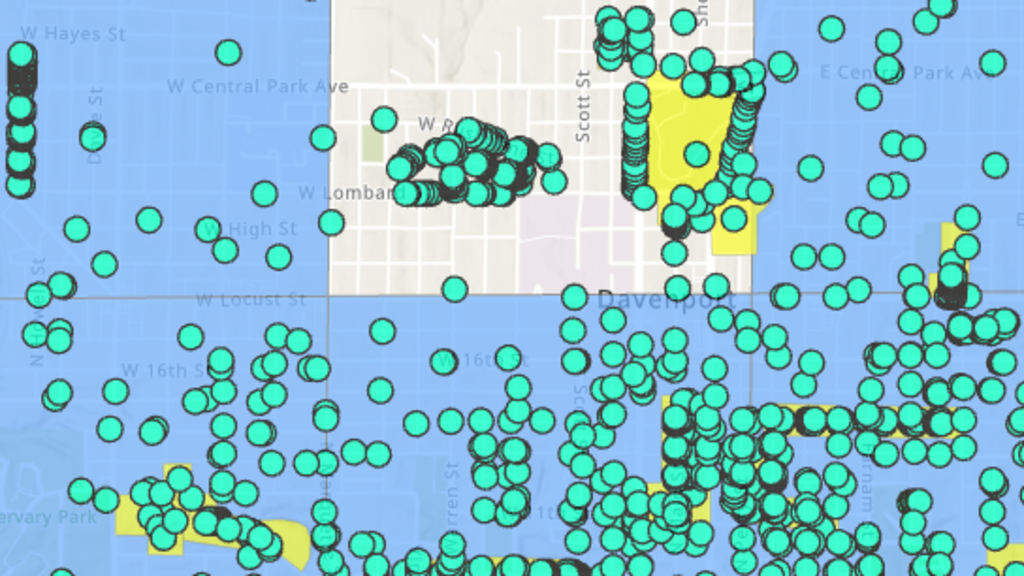
I-SitesPublic
I-SitesPublic indicates where archaeological sites have been recorded by Public Land Survey System one-square-mile section and shows historic structure locations in each of Iowa's 99 counties.
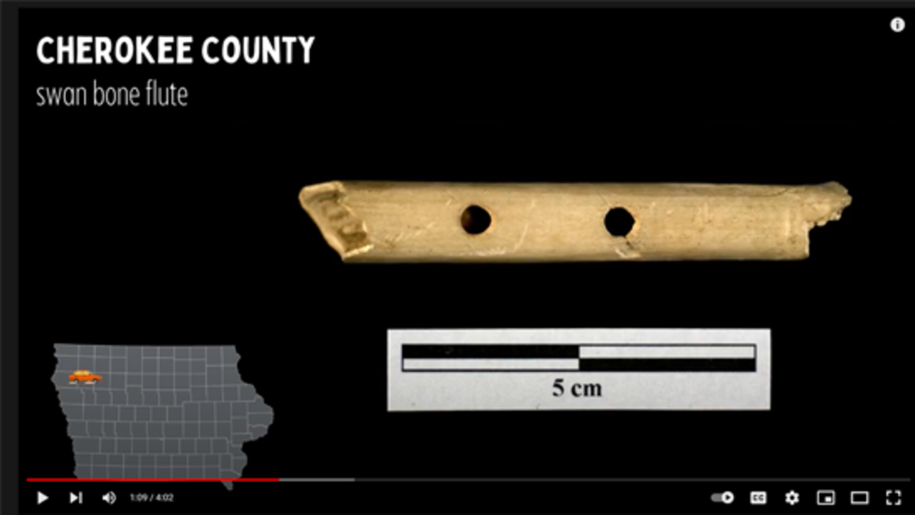
Iowa Archaeology on YouTube
Find newly produced educational videos, livestreamed lectures and interviews, digitized materials from the OSA archives, and playlists focused on learning about or teaching archaeology with a place-based, Iowa focus.
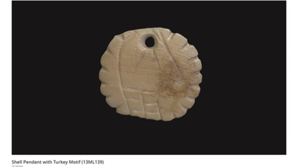
Iowa Archaeology on SketchFab
As OSA's capacity for 3D scanning and photogrammetry grow, we will post more content on our SketchFab site. Explore our current 3D models including stone, bone, and shell artifacts. Find 3D models and downloads from several other archaeology educational institutions.
Visit
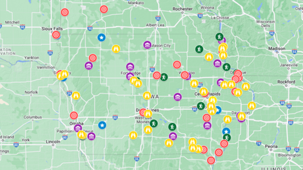
Iowa Sites & Museums
There are nearly 100 places in and around Iowa to see archaeological sites and artifacts. Visit museums, nature centers, and interpretive centers with exhibits; National Historic Landmarks; State Archeological Preserves, and more.
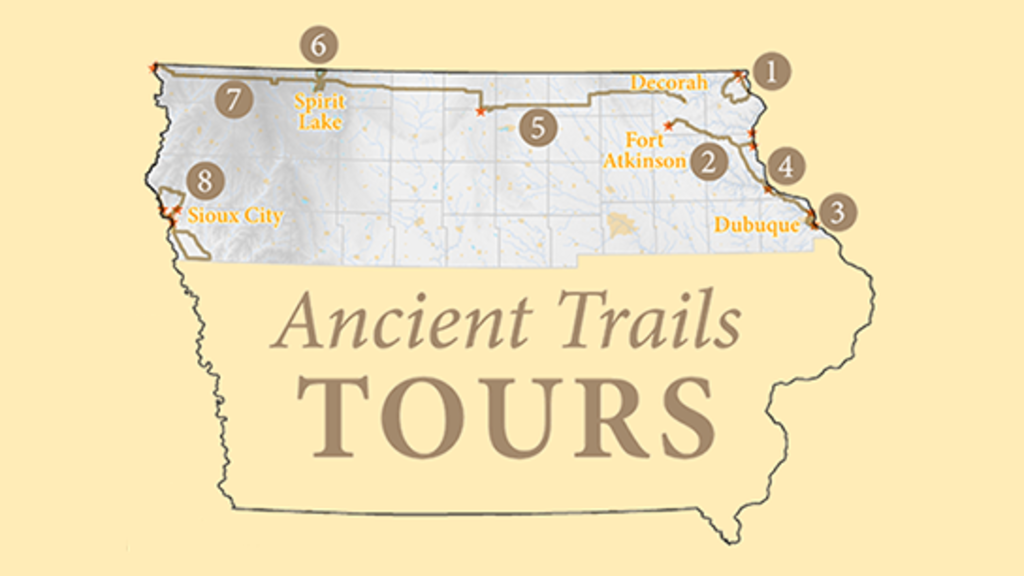
Iowa Ancient Trails Tours
This project analyzed old maps, aerial photographs, and high-resolution lidar topographic maps to determine the exact location and survival of ancient roads in northern Iowa. Learn where you can drive or bike along paths that existed before Iowa was a state!
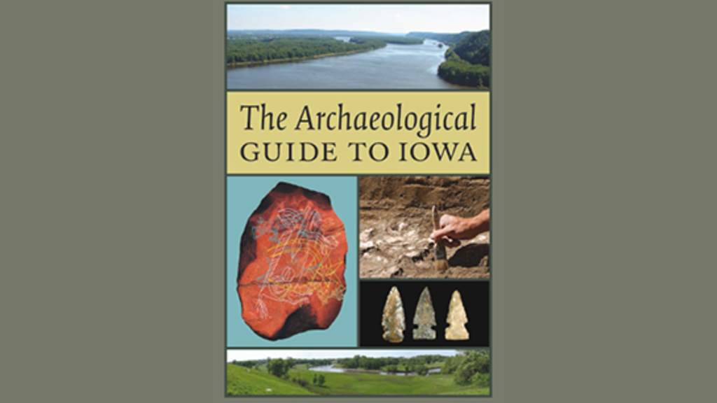
Iowa Archaeology Driving Tour
A sixty-eight location tour of prominent Iowa archaeological sites from all across the state, based on The Archaeological Guide to Iowa. Access the audio driving tour through the Geotourist mobile app or read and listen online.
Des Moines Walking Tour
The confluence of the Des Moines and Raccoon rivers has been an important spot for humans for thousands of years, and excavations in downtown Des Moines have unearthed glimpses of this past. Access the audio walking tour through the Geotourist mobile app or read and listen online.
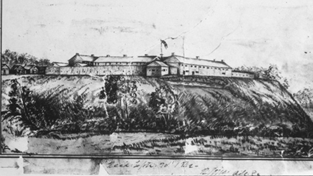
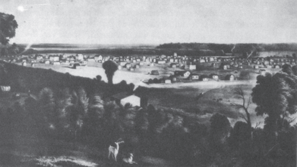
Fort Atkinson Walking Tour
Fort Atkinson in Winneshiek County was established in 1840 to monitor the Ho-Chunk (Winnebago) Nation who had been forced to move from their traditional homeland in Wisconsin to the Neutral Ground in northeastern Iowa. Access the audio walking tour through the Geotourist mobile app or read and listen online.